Geo-LADAKH Portal

Union Territory of Ladakh

Spatial Viewer

About Ladakh

Union Territory of Ladakh (UT-Ladakh) is the highest altitude Indian plateau region comprising two districts, namely Leh and Kargil. UT-Ladakh came into existence on October 31, 2019 based on the Jammu and Kashmir (J&K) Reorganisation Act, 2019.


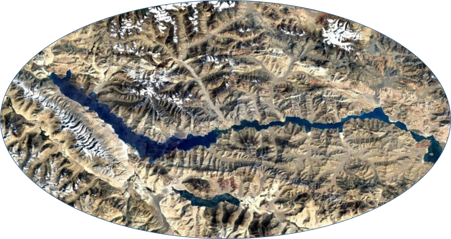
It is nestled amongst the Zanskar and Ladakh Mountain ranges within the Trans-Himalayan region and between the Great Himalayas to the south and the Karakoram to the north. The Indus river and its tributaries drain through UT-Ladakh. Several important destinations such as Leh, Kargil, Nubra, Lamayuru, Pangong Lake, Zanskar, Suru valley, Dras, etc. are located within the UT-Ladakh, which exuberate breathtaking landscapes and serenity of nature.


Features

Geospatial Layers

Various GIS Layers

Carbon Neutrality

Various Datasets

DSS Tools

Water/Glacier, Thematic Products

Geospatial Utility Mapping

Citizen Centric Tool

Geo-tourism

Geo-tourism sites in UT Ladakh.

Contact Us